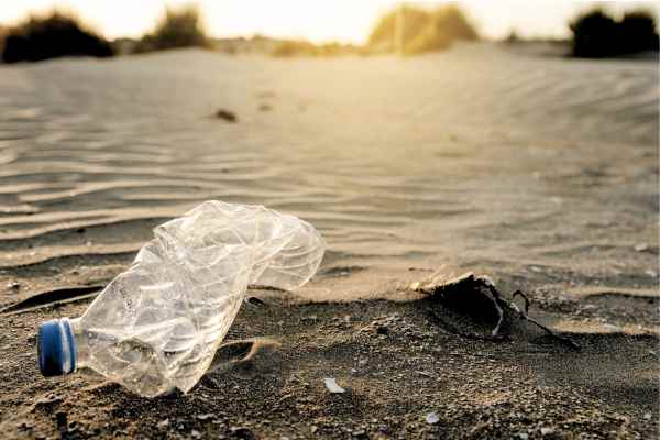
Spotting beach plastic from afar
New spectral index is helping to detect plastic debris on remote beaches.

A breakthrough in satellite imaging tech is helping to locate plastic pollution harming Australian wildlife and beach habitats.
RMIT University researchers said its new satellite imaging tool is capable of detecting plastic rubbish across Australia's shorelines from more than 600km away.
The tool, called the Beached Plastic Debris Index (BPDI), is a spectral index that spots plastic by reading how it reflects light differently from sand and water.
Successfully field-tested on a remote Victorian coastline, the BPDI represents a leap in monitoring plastic pollution onshore - a challenging environment for current tracking technology.
Lead RMIT researcher Dr Jenna Guffogg said effective beach monitoring was in urgent need with oceans around the world bombarded with over 10 million tonnes of plastic each year.
"Plastics can be mistaken for food, larger animals become entangled, and smaller ones, like hermit crabs, become trapped inside plastic containers."
She said that beaches on remote islands, particularly in northern Australia, showed some of the highest recorded plastic densities globally.
"Plastics can be mistaken for food, larger animals become entangled, and smaller ones, like hermit crabs, become trapped inside plastic containers,” Guffogg said.
And over time she says they inevitably fragment further into micro and nano plastics.
Until now, satellite imaging has primarily been used to monitor ocean-based plastic pollution. However these tools are ineffective onshore, where the plastic materials blend into natural landscapes such as sand.
Light detection
According to RMIT, the BPDI has been tailored to detect the distinct lighting patterns of beach debris and it was recently tested in Victoria by placing different plastic types on a Gippsland beach.
When compared with three established indices, the BPDI outperformed all, correctly identifying plastic while other tools often misclassified shadows or water.
Dr Mariela Soto-Berelov, co-author of the study, said detection represented a key step for understanding where plastic debris was accumulating to help plan clean-up operations.
With plans to further refine BPDI in real-life scenarios, RMIT researchers also aim to collaborate with environmental organisations in the next stage, paving the way for broader protection of coastal environments from plastic waste.
The Beached Plastic Debris Index (BPDI) is a satellite-based spectral index developed by RMIT University to detect plastic on beaches. Unlike oceanic plastic detection, which has been limited by mixed results in shoreline environments, the BPDI identifies plastics based on their unique reflection patterns in high-definition images captured by the WorldView-3 satellite. At 617 km above, the satellite scans expansive areas, classifying pixels by the spectral properties of sand, water, and plastic. Initial tests on a Victorian beach in Gippsland demonstrated its accuracy, showing strong performance even in complex beach environments where shadows and water were both present.


