Satellites with eyes take to the skies
Space-based projects are putting climate pollution and water quality in the spotlight.

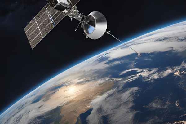
Planetary health checks from space could soon be revealing climate super-emitters and toxic algal blooms.
In Australia, water quality is in the crosshairs with a project called AquaWatch, which will act as a kind of weather service for water quality.
The national water quality monitoring and forecasting service is being developed by the CSIRO to provide near real-time updates and predictive forecasting of water contamination.
Through the EyeOnWater app, anyone can contribute by photographing local waterways and uploading the images to the system, becoming part of a broader effort to protect water resources.
And these local observations are expected to play a critical role in helping scientists validate and refine data from satellites and water sensors to improve water management and offer early warnings for harmful events such as toxic algal blooms, blackwater, and runoff contamination.
"When people upload their photos via EyeOnWater, it gives us more locations we can use for satellite calibration and validation."
AquaWatch deputy lead Janet Anstee said local observations were needed to validate the view from space and to help calibrate the satellite data. "It’s important to check satellite data with point measurements from down on Earth," she said.
"One way we’re doing this for AquaWatch is to use data from a network of water-based sensors we have installed on buoys at test sites around the country, but we can’t have these everywhere.
"When people upload their photos via EyeOnWater, it gives us more locations we can use for satellite calibration and validation."
The methane monitors
Methane super-emitters will also be under increased scrutiny from space thanks to two recently launched satellites.
Methane has a weightier planet-warming payload than carbon, and the International Energy Agency (IEA) says it is responsible for around 30% of the rise in global temperatures since the industrial revolution.
MethaneSAT was developed by the Environmental Defense Fund (EDF) to circle the planet, scanning for the climate pollution that's largely been invisible until now.
Launched into orbit on a SpaceX rocket in March, MethaneSAT's mission is to detect and track methane emissions from specific regions and sources, providing essential data for regulators and environmental advocates.
The EDF recently confirmed that MethaneSAT had completed its commissioning phase and was set to begin delivering public data later this year, with full operational capability expected by early 2025.
The EDF, which also operates emissions-monitoring jet aircraft, has recently revealed that oil and natural gas producers across the United States are emitting methane into the atmosphere at over four times the rate of industry-reported data.
New satellite launch
The newest entrant in the methane sensing landscape is Tanager-1, launched via SpaceX this month to enhance efforts to identify and quantify emissions from the world’s largest emitters.
The satellite's data will be combined with data from MethaneSAT, and together they will pinpoint global methane emissions with a view to driving meaningful action by regulators and advocates.
The Tanager-1 satellite is a collaboration with NASA’s Jet Propulsion Laboratory, Planet Labs, and Arizona State University and is managed by the nonprofit Carbon Mapper.
“Any serious effort to tackle climate change must include a focus on minimising high emission point sources, particularly methane ‘super-emitters’ where a small fraction of infrastructure contributes disproportionately to total emissions,” Carbon Mapper Co-Founder and CEO Riley Duren said.
While there are already solutions capable of eliminating unnecessary leaks and wasteful practices, Duren said most emission sources had remained unobserved at the granular scales necessary to guide mitigation action.
“We’re incredibly excited to apply Tanager’s unique capabilities to make methane and CO2 emissions visible at high resolution globally - translating data into transparent and actionable information to help decision makers act now. There’s no time to waste.”


